Heavy rain and storms forecast for Australia’s southeast as Tasmania issued severe weather warning

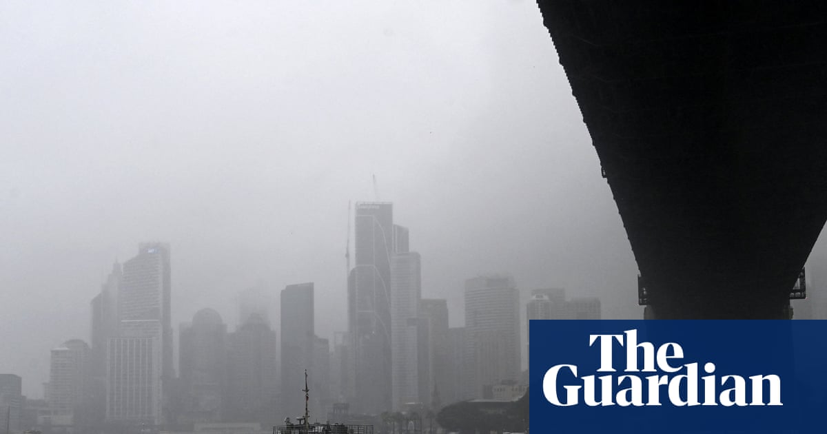
Severe thunderstorms are forecast to bring heavy rainfall and flash flooding to eastern and south-eastern Australia over the coming days, with the Bureau of Meteorology warning that a low-pressure system over South Australia, combined with moist tropical air moving down the eastern seaboard, will trigger widespread rain and storms. The weather pattern is expected to affect multiple states, including New South Wales, Victoria, Tasmania, Queensland and South Australia, with the risk of damaging winds and large hail in some areas.
In the 24 hours to Tuesday afternoon, thunderstorms had already delivered significant rainfall, including up to 60mm in New South Wales, 70mm in Tasmania, 20mm in Victoria and 40mm in south-east South Australia. Meteorologist Ilana Cherny said severe weather warnings were in place for parts of eastern Tasmania on Wednesday and Thursday, while severe thunderstorms were expected to hit the central west of NSW before moving south towards Victoria on Thursday evening.


Cherny said parts of southern Queensland could also be hit by heavy rain, damaging winds and large hail on Wednesday, with the threat shifting east on Thursday to south-east Queensland and parts of central and north-eastern New South Wales. She said the system was being intensified by a trough in the upper levels of the atmosphere, which was increasing the amount of rain-producing moisture and enhancing the overall storm activity.
Heavy rainfall is expected to continue across southern Queensland and northern NSW on Wednesday and Thursday, while Tasmania is also forecast to receive further falls as easterly winds and moisture combine with a developing trough. Although the low-pressure system is expected to move offshore on Friday, the bureau said enough moisture will remain wrapped around the system to keep the risk of heavy rain going for coastal parts of New South Wales.
Forecast accumulated rainfall totals include about 25mm to 100mm across southern Queensland, with heavier falls possible in the Darling Downs, 50mm to 100mm through the western slopes of NSW, 100mm to 150mm along parts of the NSW coast, and 50mm to 100mm in eastern Tasmania. Authorities have warned that these totals could increase locally where storms remain slow-moving or repeatedly track over the same areas.
The severe weather outlook comes as the Bureau of Meteorology also reported signs of El Niño development in the tropical Pacific. The bureau said sea surface temperatures in the central tropical Pacific have warmed substantially in recent weeks, and all climate models reviewed by the agency, including its own, indicate temperatures may reach El Niño thresholds by winter. While the bureau said the event could be at least moderate and possibly strong, it stressed that the exact strength of El Niño does not necessarily determine the scale of its impact on Australia, because other climate drivers also influence rainfall, temperature and storm patterns.