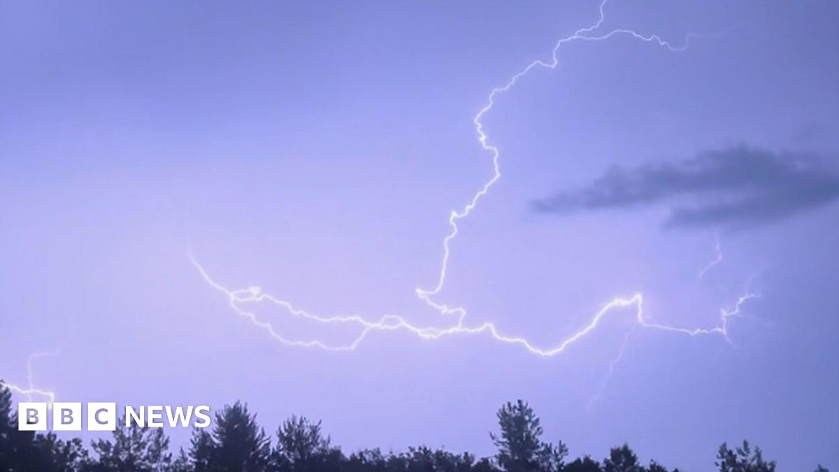
The Met Office has issued a yellow thunderstorm warning for parts of the East of England, covering a seven-hour period from 15:00 BST until 22:00. The alert applies to Bedfordshire, Buckinghamshire, Hertfordshire and Northamptonshire, along with sections of Cambridgeshire, Essex and Suffolk, as forecasters warn of potentially intense downpours and local disruption.
According to the warning, rainfall could reach up to 3cm (1.2in) in less than an hour in some areas. Such heavy bursts of rain raise the risk of surface water flooding, especially in places where drainage systems may struggle to cope with sudden, short-lived storms. The Met Office said there is a slight chance of power cuts, as well as impacts on homes, businesses and transport networks if storms develop more strongly than expected.


Driving conditions may become difficult during the period of heavy rain, with reduced visibility and standing water likely to affect roads in affected counties. Motorists are being urged to take extra care and allow additional time for journeys, particularly where local flooding causes slower traffic or temporary road closures. The warning also notes that bus and train services could face delays or cancellations if the storms intensify, creating wider travel disruption across the region.
The yellow warning indicates that while severe impacts are not expected everywhere, some areas within the warning zone could see significant disruption if thunderstorms track through at the wrong time. The Met Office uses yellow alerts to signal that people should stay aware of changing weather conditions and be prepared for possible interruptions to travel and daily routines.
Thunderstorms in the summer months can develop quickly, bringing intense rainfall over a short period, along with lightning and strong gusts. Even where storms are brief, they can still cause local flooding in low-lying spots, overwhelm drainage systems and create hazardous conditions for road users and pedestrians. The potential for disruption is highest where the heaviest rain falls repeatedly over the same area.
Residents in the affected parts of the East of England are advised to keep an eye on local forecasts and weather updates throughout the afternoon and evening. Those planning travel may want to check the status of journeys before setting out, while households and businesses in flood-prone locations may need to take precautions against water ingress.
The warning remains in force until 22:00 BST, after which conditions are expected to improve as the risk of thunderstorms passes. Until then, communities across the region are being advised to remain alert for sudden changes in weather, possible transport disruption and localized flooding linked to the intense rainfall.


/https://i.s3.glbimg.com/v1/AUTH_da025474c0c44edd99332dddb09cabe8/internal_photos/bs/2026/v/Y/AsBBAWSHykExS3jh7LVg/114264951-rio-de-janeiro-rj-16-03-2026-economia-imagens-ilustrativa-do-aplicativo-da-receita.jpg "MEI tax return deadline ends on May 31; learn how to file it")


/https://i.s3.glbimg.com/v1/AUTH_59edd422c0c84a879bd37670ae4f538a/internal_photos/bs/2023/W/0/Z3bNixTOu61Xn5IvDgUA/metro-bahia.jpeg "Metrô Bahia prorroga inscrições para vagas de agente de atendimento e segurança, com metade das oportunidades reservadas para mulheres")