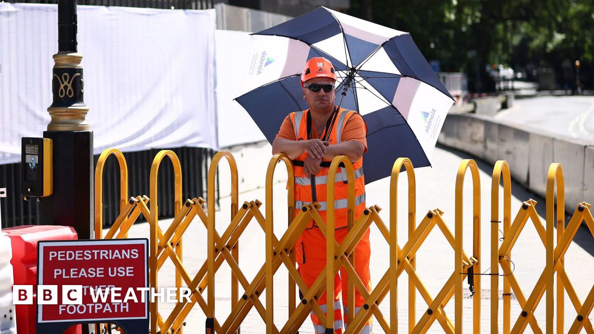
London and south-east England are expected to stay warm, with temperatures reaching up to 27C, but that will fall short of the 28C threshold needed for the heatwave to officially continue. While conditions will ease slightly in these areas, parts of Wales and south-west England will remain hotter, with highs potentially climbing to 30C as the cooler air moves elsewhere.
Forecasts suggest that the temporary break from the heat will not last long. By Thursday, the influx of cooler air is expected to be cut off as another surge of hot air moves in from France. As a result, temperatures are likely to rise again, bringing 30C back into reach in several areas.

Weather models indicate that the warmer spell may persist only briefly before a more noticeable shift arrives. From Friday and into the weekend, cooler conditions are expected to gradually return, bringing a more unsettled pattern across the UK.
The change is linked to the jet stream, which is currently positioned to the north of the country. Forecasters say it is likely to dip southwards again, allowing areas of low pressure to move in. This would bring more frequent rain, stronger winds and a drop in temperatures as June begins.
The overall outlook points to a short-lived return of intense warmth followed by a transition to more mixed early-summer weather. While some regions will continue to feel very warm in the coming days, especially in the west and south-west, the broader pattern suggests that the heat may weaken heading into the first week of June.
Weather experts are watching the movement of hot air from the continent and the position of the jet stream closely, as both will determine how long the warmer conditions can hold. For now, England and Wales remain split between lingering heat in the south-west and slightly cooler, but still pleasant, conditions in London and the south-east.